|
Many thanks for permission to use graphics from their software and toposheets |
|
|
29 August 2007 Huia Dam Rd —from Dam to Dampage 5
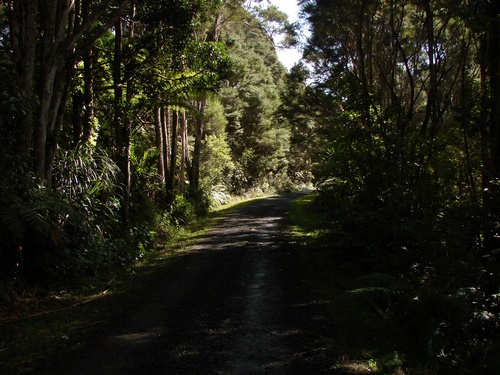
We reach the turnoff to the Christie Track. Two thirds of the way there.
The road is still heading gently up. I am still walking easily, though I am beginning to notice that the soles of my feet are hotter than usual. Normally I can walk through the hottest summer day in my boots and my feet remain comfortable. Up ahead, a conical mountlet pokes its head above the surrounding bush.
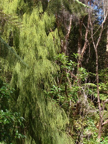
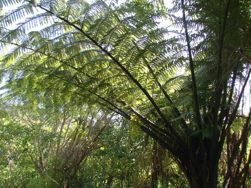
Ah. That rimu I was talking about...
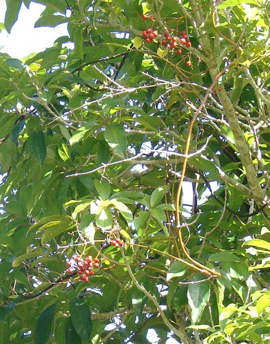
and there on the right, up high, the unmistakable bright scarlet of a cluster of supplejack berries. I steady myself against a kanuka and wind out the telephoto.
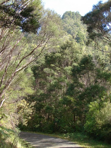
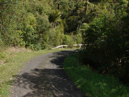
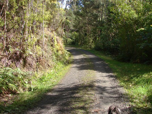
For about 50 metres, we head down hill slightly to a stream, and then
Every bit of shade is welcome along here and pungas seem to provide most of it.
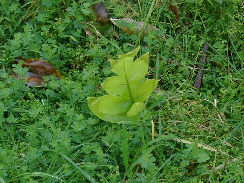
In a patch of grass by the edge of the road a hounds tongue fern catches my attention
That bridge we were going to cross when we got there.
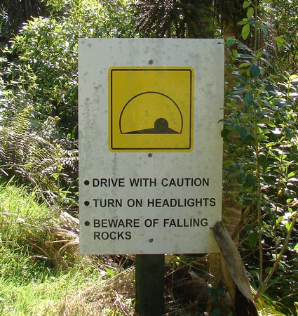
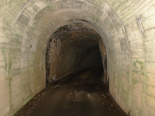
I am naturally a little claustrophobic, so I slow down just a little to peer inside. Then I notice a glimmer of light at the far end. It's not that long, and I'll be able to see enough to walk comfortably. Falling rocks? There's enough light to see the smooth surface packed down by vehicle tires as they have passed through. Nobody has passed me on my way up to here. The tracks are smooth. There is no loose rock anywhere to be seen on the ground. Can I make it through 60 metres of tunnel safely when nothing at all has fallen for at least several hours, and probably for much longer. I reckon so. I walk close to one side of the tunnel to decrease as much as possible the height that anything might fall from. It occurs to me that the kind of thoroughness that went into the tap sign earlier on might have extended itself as far as a couple of helmets hanging at each end from a nail on the notice board. I'm certainly not going to pinch one if I have to carry or wear it all the way out, I shall be coming back this way, almost certainly, and my observation is that for the most part, vandalism and theft tend to drop away significantly if more than 10 minutes or so of walking is involved in getting there.
The far end, from where I took this photo, has been lined with concrete. We carry on. I am starting to get a little peckish. I swallow some water and the feeling disappears. I feed Alice a liver treat and take the opportunity to run her through some obedience skills. I am starting to relax a little around her these days, not something I could do easily during her first year.
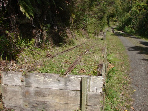
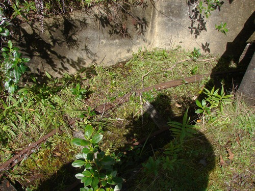
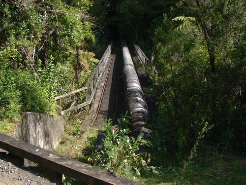
I don't know much about the technicalities of building dams. This appears to have been a loading/unloading point for vehicles that have come up through the tunnel. The rail wagons must have been fairly small, as the tunnel beneath the road is low and the wagons do a near right-angle bend in a very short space.
According to ARC track notes, there was also a railway serving the dam from the Piha Rd, the route of the present Upper Huia Dam Track.
|
|